
Washington, DC
Washington was planned as a walking city before there were cars, with its monuments arranged along a great open axis. Add the free Smithsonian museums, a fully accessible metro and leafy neighbourhoods of row houses, and it is one of the easiest American capitals to explore on foot.
The city on foot
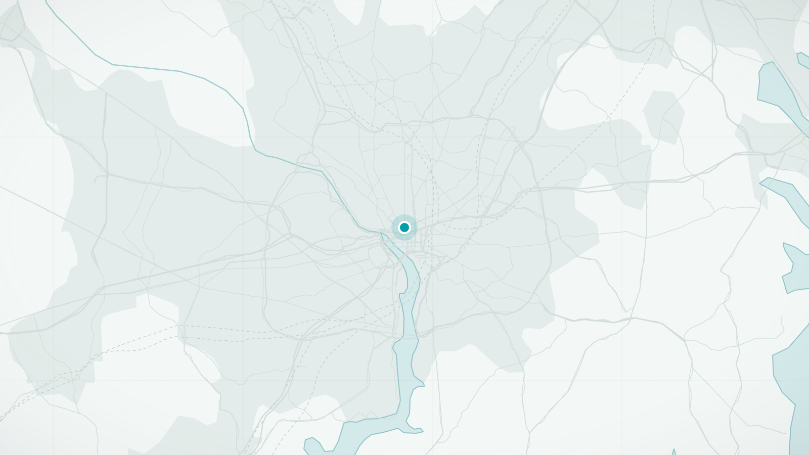
Washington, DC is a designed city. Pierre L'Enfant's 1791 plan set the Capitol on a hill, ran a grand avenue west to the Potomac and overlaid a grid with diagonal avenues named after states. The result is the National Mall, a lawn roughly two miles long lined with museums and monuments, with the Capitol at one end and the Lincoln Memorial at the other. Most of the city's headline sights are along it or within a few blocks.
Beyond the Mall, the city is a collection of low-rise neighbourhoods, kept that way by a height limit on buildings. Georgetown's brick streets, the Victorian row houses of Capitol Hill and the embassies of Dupont Circle are all comfortable walking territory, and Rock Creek Park brings a forested valley almost to the centre. The Metro fills the gaps and, unusually for the US, every station has lifts.
What makes Washington, DC distinctive
- The National Mall: two miles of monuments and museums, all free to enter
- A planned street grid with diagonal avenues and four quadrants centred on the Capitol
- A low skyline set by law, so the monuments dominate the views
- The cherry blossom around the Tidal Basin each spring
Walking tours in Washington, DC
Hand-picked guided walks in Washington, DC, each rated highly by travellers. Ratings and photos are from Viator; select a tour to see dates, prices and full details, and to book.
Advertising disclosure: tour links go to Viator. If you book through one, we may earn a commission at no extra cost to you. It does not affect the price you pay or which tours we choose.
-
National Mall Small-Group Tour + Washington Monument Ticket (opens Viator in a new tab)
A small-group walk along the National Mall's memorials, including the Lincoln Memorial, with a ticket to go up the Washington Monument included.
Guided in English
See dates & bookBooked securely on Viator
-
Capitol Hill, Supreme Court and Library of Congress Walking Tour (opens Viator in a new tab)
A 2.5-hour small-group walk around Capitol Hill's great institutions, tracing how Washington grew into a capital.
Guided in English
See dates & bookBooked securely on Viator
-
Historic Georgetown: History, Gossip, & Architecture Walking Tour (opens Viator in a new tab)
A two-hour walk through Georgetown's cobbled streets, the C&O Canal and historic homes such as the Old Stone House.
Guided in English
See dates & bookBooked securely on Viator
-
Georgetown Foodie Culinary Tour & Neighborhood Walk (opens Viator in a new tab)
A three-hour food walk through Georgetown's side streets, tasting at local eateries between stories of the neighbourhood.
Guided in English, German, Italian, French, Spanish
See dates & bookBooked securely on Viator
-
Lincoln Assassination Tour with Ford's Theatre & Petersen House (opens Viator in a new tab)
A two-hour walk that follows the Lincoln assassination through the streets of Penn Quarter, with entry to Ford's Theatre and the Petersen House.
Guided in English
See dates & bookBooked securely on Viator
Main sights
- National Mall and monuments
Washington Monument, the war memorials, the Lincoln Memorial and, around the Tidal Basin, the Jefferson and Martin Luther King Jr memorials; open at all hours.
- Smithsonian museums
Air and Space, Natural History, American History, the National Museum of African American History and Culture and more, all free, lining the Mall.
- US Capitol and Library of Congress
At the eastern end of the Mall; the Capitol Visitor Center offers tours and the Library's main reading room is one of the finest interiors in the city.
- White House
Viewed from Lafayette Square to the north or the Ellipse to the south; interior tours require advance requests.
- National Gallery of Art
Two connected buildings and a sculpture garden on the Mall, free to enter.
- Georgetown
The oldest neighbourhood, with the C&O Canal towpath, the waterfront and brick-paved residential streets.
Neighbourhoods worth wandering
- Capitol Hill
Victorian row houses, Eastern Market and neighbourhood bars east of the Capitol.
- Georgetown
Shops on M Street and Wisconsin Avenue, quiet side streets and a canal towpath; not on the Metro.
- Dupont Circle
Embassy Row along Massachusetts Avenue, bookshops, cafés and small museums.
- U Street and Shaw
The historic African American cultural corridor, with music venues, murals and Ethiopian restaurants.
- Penn Quarter and Chinatown
The downtown entertainment district between the Mall and the convention centre.
- Adams Morgan
Colourful row houses and a lively nightlife strip on 18th Street, north of Dupont.
Best areas to explore on foot
- The Mall end to end
Capitol – museums – Washington Monument – war memorials – Lincoln Memorial: a little over 3 km one way on gravel and paved paths. Allow half a day with museum stops.
- Tidal Basin loop
A 3 km circuit past the Jefferson, FDR and MLK memorials, spectacular during cherry blossom in late March or early April.
- Georgetown and the canal
Brick streets, the towpath along the C&O Canal and the Potomac waterfront; combine with a walk over Key Bridge for the view.
- Dupont to Adams Morgan
Embassies, row houses and the Rock Creek valley crossed by high bridges; a good residential walk.
Practical walking notes
- Terrain
The Mall and downtown are flat. Capitol Hill is a gentle rise, and the neighbourhoods north of downtown climb steadily towards the Cathedral and the upper city; Georgetown's side streets are steep.
- Distances
The Mall is much longer than it looks: Capitol to Lincoln Memorial is a little over 3 km (about two miles), and museum entrances are hundreds of metres apart. Plan which section to cover each day rather than trying to see it all at once.
- Heat and humidity
Summers are hot and very humid. On the Mall there is little shade; walk early or late, use the air-conditioned museums in the middle of the day, and carry water.
- Finding your way
Every address includes a quadrant (NW, NE, SE, SW) measured from the Capitol. Lettered streets run east–west, numbered streets north–south, and state-named avenues run diagonally. Check the quadrant or you may end up across town.
- Accessibility
The Mall, the monuments and the museums are designed for step-free access, and every Metro station has lifts. Georgetown's brick pavements and hills are the main exception.
When to visit
- Late March–May
Cherry blossom around the Tidal Basin, usually peaking in late March or early April, then a mild, flowery spring. The most popular season.
- June–August
Hot and humid, with afternoon thunderstorms. Manageable with an early-and-late routine and museums in between.
- September–November
Warm early autumn giving way to crisp days and foliage in Rock Creek Park; excellent for long walks.
- December–February
Cold with occasional snow; museums are quiet and the monuments are atmospheric in winter light.
Getting there and getting around
Arriving
- By air
Reagan National (DCA) is just across the river with its own Metro station, about 15 minutes from downtown. Dulles (IAD), about 40 km west, is on the Metro's Silver Line. Baltimore-Washington (BWI) connects to Union Station by train.
- By rail
Union Station, on Capitol Hill and the Metro's Red Line, is Amtrak's hub for the Northeast Corridor, with frequent trains to New York in about three to three and a half hours.
Local transport
- Metro
Six colour-coded lines with lifts at every station. Fares vary by distance and time of day and are paid with a SmarTrip card or phone. Stand on the right on escalators; locals are strict about it.
- Buses
Metrobus covers the neighbourhoods the Metro misses, including Georgetown. Routes and fares are integrated with the Metro system.
- Capital Bikeshare
One of the largest bike-share networks in the country, with stations all over the centre and a flat, car-free path the length of the Mall.
- On foot
Downtown, the Mall and the inner neighbourhoods are all within a comfortable walk of each other; the Metro is chiefly useful for the airports, Union Station and the outer districts.
Questions travellers ask about Washington, DC
Are the museums really free?
All the Smithsonian museums and the National Gallery of Art are free to enter, as are the monuments and memorials. A few popular museums use timed passes on busy days, so check before you go.
How long does it take to walk the National Mall?
Capitol to Lincoln Memorial is a little over 3 km, roughly 40 minutes at a steady pace without stops. With even a couple of museum visits it becomes a full day, and many visitors split the Mall across two days.
Is Georgetown on the Metro?
No. The nearest stations are Foggy Bottom, about a 15-minute walk, and Rosslyn across Key Bridge in Virginia. Buses run along M Street, and walking from Dupont Circle takes about 25 minutes.
When is cherry blossom?
Peak bloom usually falls in late March or early April, but it shifts with the weather each year. The National Park Service publishes forecasts; the Tidal Basin is extremely crowded during peak days, and early morning is the best time to walk it.
Is it safe to walk the Mall at night?
Yes; the monuments are lit, open all night and well visited into the evening, especially in summer. As elsewhere, stay on the main paths and be sensible with valuables.
Other cities in United States
New York City
A grid that makes getting lost almost impossible
Discover the city
San Francisco
Steep streets, sudden views and fog rolling through the Gate
Discover the city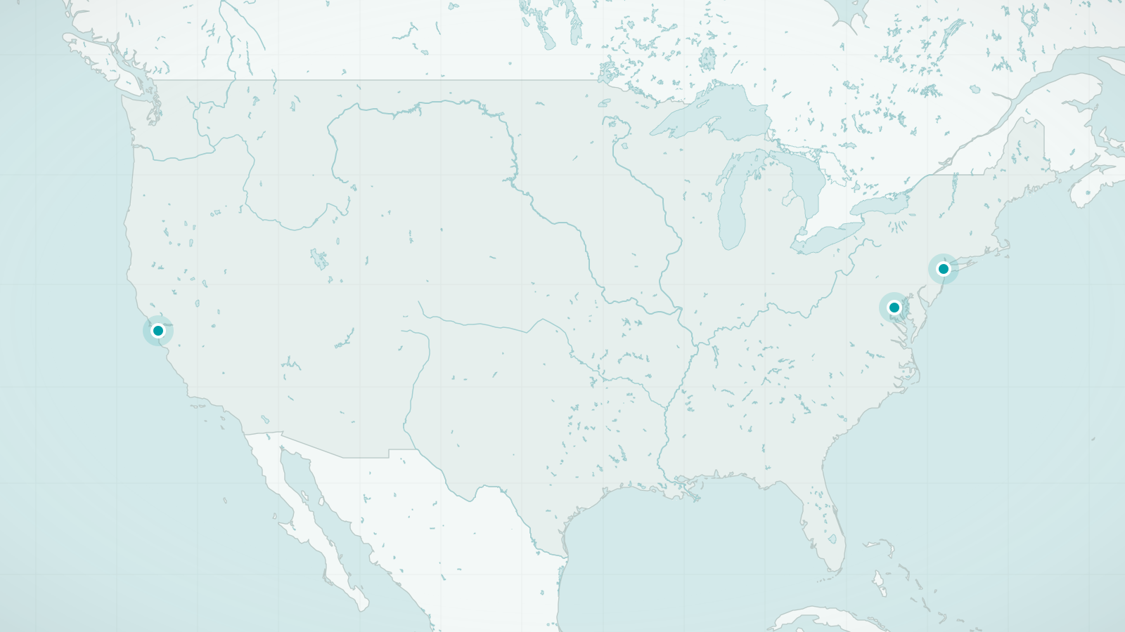
United States
Three cities that break the rule that America is for driving
Explore destinationsSources and review date
- Washington, D.C., Wikivoyage (accessed 2026-09-24)
- National Mall and Memorial Parks, National Park Service (accessed 2026-09-24)