
New York City
New York is the most walked city in America. Manhattan's numbered grid, the 24-hour subway and neighbourhoods that change character every few blocks make it a place where the best plan is often to pick a direction and go.
The city on foot
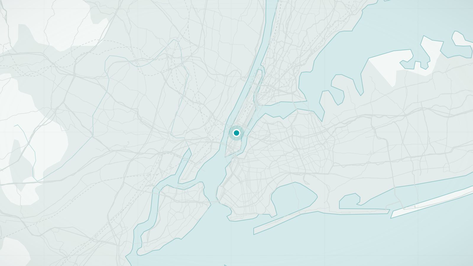
New York City is five boroughs, but for most visitors on foot it is Manhattan plus the parts of Brooklyn nearest the East River. Manhattan is a long, narrow island, roughly 21 km from tip to tip and never more than about 3.7 km wide, and above 14th Street it is laid out on the grid fixed by the Commissioners' Plan of 1811: numbered avenues running north–south and numbered streets running east–west. Learn that, and you can navigate without a map.
The reward for walking is density. In a single afternoon you can cross from the skyscrapers of Midtown to the brownstones of Greenwich Village, from the galleries of Chelsea along the elevated High Line to the piers of the Hudson, or over the Brooklyn Bridge to the waterfront parks of DUMBO and Brooklyn Heights, with one of the world's great skylines behind you.
What makes New York City distinctive
- The Manhattan grid: twenty north–south blocks to a mile, and long crosstown blocks
- Central Park, 843 acres of designed landscape in the middle of the island
- The subway, one of the few in the world that runs all night, every night
- Walkable bridges, above all the Brooklyn Bridge with its raised pedestrian promenade
Walking tours in New York City
Hand-picked guided walks in New York City, each rated highly by travellers. Ratings and photos are from Viator; select a tour to see dates, prices and full details, and to book.
Advertising disclosure: tour links go to Viator. If you book through one, we may earn a commission at no extra cost to you. It does not affect the price you pay or which tours we choose.
-
SoHo, Little Italy, and Chinatown Walking Tour in New York (opens Viator in a new tab)
A two-hour walk from the cast-iron buildings of SoHo through Little Italy's mob history to the streets of Chinatown.
Guided in English
See dates & bookBooked securely on Viator
-
Central Park Guided Walking Tour (opens Viator in a new tab)
A two-hour walk through Central Park's landscape, statues and structures with a guide who specialises in the park.
Guided in English
See dates & bookBooked securely on Viator
-
Brooklyn Bridge & DUMBO Neighborhood Tour - from Manhattan to Brooklyn (opens Viator in a new tab)
A walk across the Brooklyn Bridge with the story of its construction, then through DUMBO's cobbled streets and waterfront with skyline views back to Manhattan.
Guided in English
See dates & bookBooked securely on Viator
-
Chelsea Market and High Line Guided Food Tour (opens Viator in a new tab)
A food walk through Chelsea Market and the surrounding streets near the High Line, tasting from independent vendors.
Guided in English, Spanish
See dates & bookBooked securely on Viator
-
NYC: Greenwich Village Food Tour with 6 Locals Favorites Dishes (opens Viator in a new tab)
A food walk through Greenwich Village with six tastings, combining the neighbourhood's bohemian history with the places locals eat.
Guided in English
See dates & bookBooked securely on Viator
-
Original NYC Food Tour of Chinatown & Little Italy- 8 tastings (opens Viator in a new tab)
A long-running food walk through Chinatown and Little Italy with eight tastings, from dumplings to a sit-down Italian course.
Guided in English
See dates & bookBooked securely on Viator
Main sights
- Central Park
Paths, lakes and lawns from 59th to 110th Street; the southern half holds most of the famous spots, and it is easy to spend a whole day inside.
- Brooklyn Bridge
The 1883 suspension bridge has a walkway above the traffic. Walk from Brooklyn towards Manhattan for the skyline in front of you.
- The High Line
A former freight railway converted into a 2.3 km elevated park through Chelsea and the Meatpacking District.
- Statue of Liberty and Ellis Island
Reached by ferry from Battery Park. The free Staten Island Ferry passes close by and offers the classic harbour view at no cost.
- Times Square and Midtown
The neon crossroads, the theatres and the great skyscrapers of the 1930s, including the Empire State and Chrysler buildings, all within a short walk.
- 9/11 Memorial and Lower Manhattan
The memorial pools, the Oculus transit hub and the oldest streets in the city around Wall Street and the Battery.
Neighbourhoods worth wandering
- Greenwich Village and the West Village
Where the grid breaks down: crooked streets, townhouses, cafés and small parks.
- SoHo, Nolita and the Lower East Side
Cast-iron warehouses turned boutiques, followed by tenements, delis and a layered immigrant history.
- Chinatown and Little Italy
Dense, busy and best explored hungry; Chinatown has grown to swallow most of its neighbour.
- Upper West and Upper East Side
Residential avenues flanking Central Park, with Museum Mile along Fifth Avenue on the east.
- Harlem
Brownstone rows, historic churches and a rich musical heritage north of the park.
- Brooklyn Heights and DUMBO
Across the river: the Promenade's skyline view, Brooklyn Bridge Park and cobbled streets beneath the bridges.
Best areas to explore on foot
- Lower Manhattan to the Village
Battery Park – Wall Street – 9/11 Memorial – Tribeca – SoHo – Greenwich Village: a long morning through the oldest and most varied streets.
- High Line and Hudson waterfront
Walk the High Line north from Gansevoort Street, then return along the Hudson River Park's continuous riverside path.
- Central Park loop
The southern loop past the Mall, Bethesda Terrace, the Lake and Bow Bridge covers the highlights in a couple of hours.
- Over the Brooklyn Bridge
Take the subway to Brooklyn, walk the Heights Promenade and Brooklyn Bridge Park, then cross the bridge back towards Manhattan.
Practical walking notes
- Terrain
Manhattan is largely flat; the slopes are in Central Park, Upper Manhattan and Brooklyn Heights. Bridges have long approach ramps but no stairs on the main walkways.
- Distances
Twenty north–south blocks equal roughly a mile (1.6 km); crosstown blocks are two to three times longer. A 'quick walk' from 14th to 59th Street is 45 blocks, about 3.5 km.
- Pace and crossings
New Yorkers walk fast and cross when the road is clear regardless of signals. Keep right on busy pavements, step aside to check your phone, and never stop at the top of subway stairs.
- Weather
Summers are hot and humid, with July averaging around 25°C and frequent higher spikes; winters are cold, with January near freezing, and pavements can be icy after snow. Spring and autumn are ideal.
- Accessibility
Street level is mostly level with kerb cuts at most crossings. Only a minority of subway stations have lifts; buses are fully accessible and the Staten Island Ferry is step-free.
When to visit
- April–June
Mild, with the parks in blossom; the most pleasant walking months.
- July–August
Hot and humid, with thunderstorms. Waterfront paths and shaded park routes are more comfortable than the avenues.
- September–November
Clear, crisp days and autumn colour in Central Park; often the best time of all.
- December–March
Cold, sometimes snowy, but festive in December and quiet in January and February. Dress in layers.
Getting there and getting around
Arriving
- By air
JFK and LaGuardia are in Queens; Newark is in New Jersey. JFK connects to the subway and Long Island Rail Road via the AirTrain; Newark connects to Penn Station by NJ Transit rail via its own AirTrain; LaGuardia is served by bus and taxi only.
- By rail
Amtrak arrives at Moynihan Train Hall at Penn Station in Midtown, including services from Washington, DC (about three to three and a half hours) and Boston. Grand Central serves commuter lines.
Local transport
- Subway
Runs 24 hours a day on most lines. Fares are paid by tapping a contactless card or phone at the turnstile; the same fare covers any distance. Express trains skip stops, so check the map.
- Buses
Slower but useful for crosstown journeys where the subway does not go, and step-free.
- Ferries
The Staten Island Ferry is free and runs around the clock. NYC Ferry routes along the East River are an inexpensive way to see the skyline.
- Citi Bike
A large bike-share network with day passes; protected lanes along the Hudson and across the bridges make it practical for visitors.
Questions travellers ask about New York City
How long does it take to walk across the Brooklyn Bridge?
About 30 to 40 minutes at a sightseeing pace for the 1.8 km crossing, longer if it is crowded. Early morning is quietest. The walkway now has cyclists separated onto the roadway, so pedestrians have the boards to themselves.
Is the subway confusing for a first-time visitor?
The map looks complicated, but the essentials are simple: know whether you want uptown or downtown, and whether your train is local or express. Entrances are marked for direction, and many stations only serve one direction, so check before you tap in.
Can I walk from Midtown to Lower Manhattan?
Yes, and it is a good way to see the city change. Times Square to the Battery is about 8 km straight down Broadway, roughly two hours without stops, and passes the Flatiron, Union Square, SoHo and City Hall on the way.
Is New York safe to walk at night?
The busy parts of Manhattan and the main areas of Brooklyn are well lit and full of people late into the night. Use the same common sense as in any large city: stay on populated streets, keep valuables out of sight and take a taxi or ride-share if you are unsure of a route late at night.
What is the best free view of the skyline?
The Staten Island Ferry, which is free, gives the classic harbour view of Lower Manhattan and passes the Statue of Liberty. The Brooklyn Heights Promenade and the Brooklyn Bridge walkway are the best free views from land.
Other cities in United States
San Francisco
Steep streets, sudden views and fog rolling through the Gate
Discover the city
Washington, DC
Monuments, free museums and a two-mile lawn to walk between them
Discover the city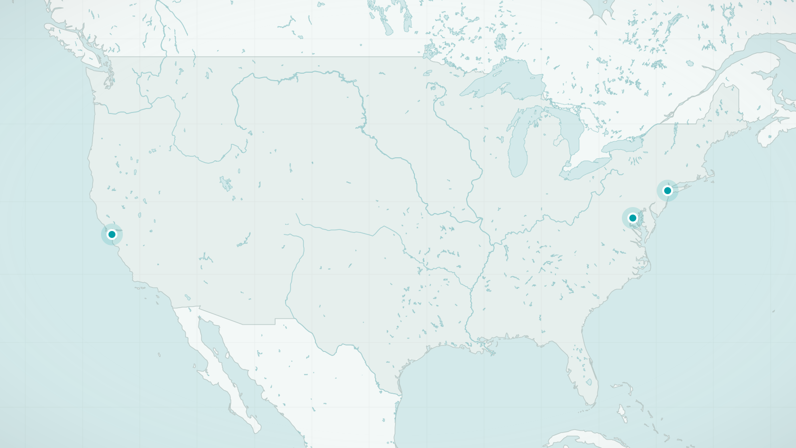
United States
Three cities that break the rule that America is for driving
Explore destinationsSources and review date
- New York City, Wikipedia (accessed 2026-09-24)
- Metropolitan Transportation Authority: fares and tolls (accessed 2026-09-24)