
San Francisco
San Francisco is the American city that most rewards, and most punishes, the walker. More than fifty hills fold its neighbourhoods together, so every climb ends in a view of the bay, the bridges or the Pacific, and the cable cars are there for when your legs give out.
The city on foot
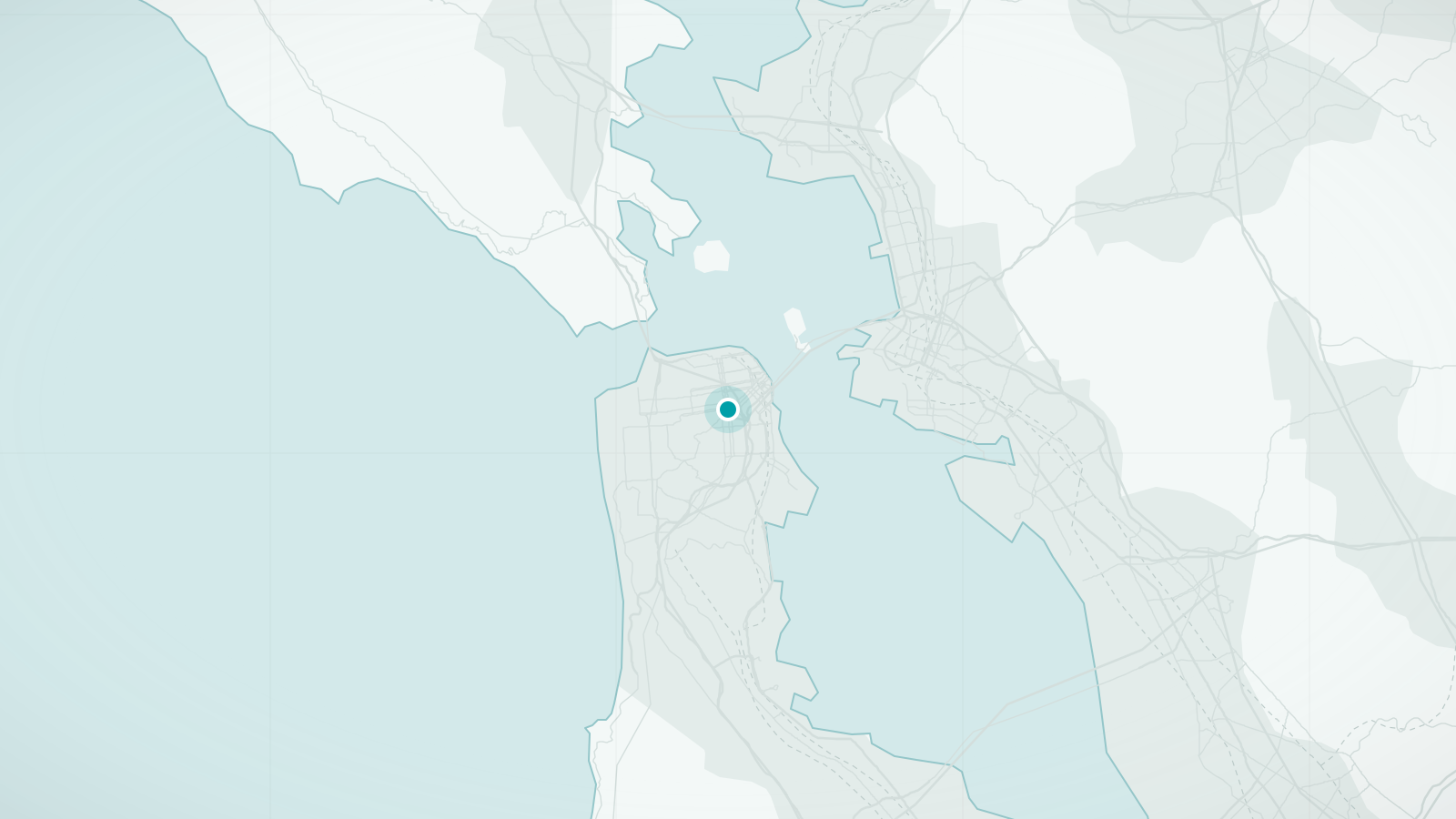
San Francisco occupies the tip of a peninsula with the Pacific on one side and the bay on the other, and it is famously hilly: more than fifty named hills lie within the city limits. The compact north-eastern quarter, where most visitors spend their time, packs Chinatown, North Beach, the Financial District, Nob Hill and the waterfront into an area about three kilometres across, and it is here that the cable cars still climb.
The city is also a place of microclimates. Fog pours in through the Golden Gate on summer afternoons, chilling the western and central districts while the Mission, a few kilometres east, stays in sunshine. Layers are not optional. The pay-off for the hills and the weather is variety: Victorian streets, a working waterfront, a vast urban park and the bridge itself, walkable end to end.
What makes San Francisco distinctive
- More than fifty hills, with streets that climb at gradients few other cities would allow
- Cable cars, a working nineteenth-century transit system on three lines
- The Golden Gate Bridge, with a pedestrian walkway across its full length
- Distinct neighbourhood cultures a short walk apart: Chinatown, North Beach, the Castro, the Mission
Walking tours in San Francisco
Hand-picked guided walks in San Francisco, each rated highly by travellers. Ratings and photos are from Viator; select a tour to see dates, prices and full details, and to book.
Advertising disclosure: tour links go to Viator. If you book through one, we may earn a commission at no extra cost to you. It does not affect the price you pay or which tours we choose.
-
Chinatown Walking Tour: Food, History & Flavor (opens Viator in a new tab)
A three-hour walk through Chinatown's back alleys, markets and small restaurants, including a fortune-cookie maker, with food and history along the way.
Guided in English
See dates & bookBooked securely on Viator
-
North Beach & Little Italy Walking Tour: Food, History & Flavor (opens Viator in a new tab)
A walk through North Beach, San Francisco's Little Italy, stopping at cafés, bakeries and delis, with the neighbourhood's Italian and Beat history.
Guided in English
See dates & bookBooked securely on Viator
-
Hidden Stairways of San Francisco (opens Viator in a new tab)
A two-mile walk up the city's hidden and mosaic-tiled stairways to viewpoints over the Golden Gate Bridge and Golden Gate Park. There are stairs, taken at a leisurely pace.
Guided in English
See dates & bookBooked securely on Viator
-
San Francisco LGBTQ Walking Tour with Local Guide (opens Viator in a new tab)
A two-hour walk through the Castro with a long-established local company, covering the history of the neighbourhood and the LGBTQ rights movement.
Guided in English
See dates & bookBooked securely on Viator
-
San Francisco: The Mission District Food Tour with 5 Local Dishes (opens Viator in a new tab)
A food walk through the Mission District with five dishes, the neighbourhood's murals and the story of its communities.
Guided in English
See dates & bookBooked securely on Viator
Main sights
- Golden Gate Bridge
The eastern walkway is open to pedestrians daily; the crossing is about 2.7 km each way and often windy and cold even in summer.
- Alcatraz
The former prison island in the bay, reached by ferry from Pier 33; tickets sell out well in advance.
- Fisherman's Wharf and the Embarcadero
The waterfront from the Ferry Building past the piers to the sea lions at Pier 39, flat and lined with cafés and views.
- Chinatown and North Beach
The oldest Chinatown in North America and the Italian and Beat quarter next to it, separated by a single street.
- Golden Gate Park
A park larger than Central Park, stretching 5 km from the Haight to the ocean, with museums, gardens and bison.
- Painted Ladies and Alamo Square
The row of Victorian houses with the downtown skyline behind; a short, steep walk from the Haight or the Castro.
Neighbourhoods worth wandering
- North Beach and Telegraph Hill
Cafés, City Lights bookshop and the stairways up to Coit Tower with views over the bay.
- Chinatown
Dense and lively along Grant Avenue and Stockton Street; the alleys in between are quieter and more revealing.
- The Mission
Sunnier than the rest of the city, with murals, taquerías, Dolores Park and the oldest building in town.
- The Castro
The historic centre of gay life in the United States, with a landmark cinema and a famously steep approach.
- Haight-Ashbury
Victorian houses, vintage shops and the memory of 1967, at the eastern gate of Golden Gate Park.
- Nob Hill and Russian Hill
The grand hotels and the crooked block of Lombard Street, reached by cable car or a serious climb.
Best areas to explore on foot
- The waterfront
Ferry Building – Embarcadero – Fisherman's Wharf – Aquatic Park – Fort Mason – Marina Green – Crissy Field – Golden Gate Bridge: about 8 km, almost entirely flat, with the bridge growing larger all the way.
- North Beach and Telegraph Hill stairways
The Filbert and Greenwich steps climb through gardens to Coit Tower; a short, steep, beautiful walk.
- Mission murals
Balmy Alley and Clarion Alley plus the streets around 24th and Valencia; flat and sunny.
- Golden Gate Park end to end
From the Haight to Ocean Beach through gardens, lakes and museums; return by bus.
Practical walking notes
- Terrain
Seriously hilly outside the waterfront and the Mission. Some residential streets exceed 30% gradient and have steps cut into the pavement. Plan routes that go around hills rather than over them, or use the cable cars and buses for the climbs.
- Weather
Cool year-round, with summers the coolest of any major US city; fog and wind are common in July and August. September and October are usually the warmest, clearest months. Carry a jacket in every season.
- Surfaces
Concrete pavements, hundreds of public stairways and cable-car tracks to step over on the hill streets. Wear shoes with grip for the steeper blocks.
- Distances
The north-eastern core is compact, but the hills make map distances misleading. The Ferry Building to the Golden Gate Bridge is about 8 km along the flat waterfront; Union Square to the Castro is about 3 km with two significant climbs.
- Safety
The Tenderloin, immediately west of Union Square, and parts of Market Street and South of Market have visible street homelessness and drug use. They are not no-go areas but are uncomfortable for many visitors, especially after dark; route around them where you can.
- Accessibility
The waterfront, the Mission and Golden Gate Park are largely level and step-free. Muni Metro and BART stations have lifts; historic cable cars do not. Many of the most famous streets are impractical for wheelchair users because of their gradient.
When to visit
- September–October
The city's real summer: warm, clear and calm. The best months for walking and for the bridge.
- March–May
Fresh and green after the winter rains, with cool but mostly dry days.
- June–August
Fog and wind in the western and northern districts, sunshine in the Mission. Not warm; visitors expecting Californian summer are often caught out.
- November–February
The wet season, though rain comes in spells rather than every day. Mild temperatures and few crowds.
Getting there and getting around
Arriving
- By air
San Francisco International (SFO) is about 20 km south and connected to downtown by BART rapid transit in around 30 minutes. Oakland airport across the bay also has a BART connection.
- By rail
Amtrak's California services stop in Emeryville across the bay with a connecting bus to the city; Caltrain serves the peninsula from a station south of downtown.
Local transport
- Muni
Buses, light rail (Muni Metro), historic streetcars along Market Street and the Embarcadero, and the cable cars. A Clipper card or phone tap pays for all of them; cable cars cost more than a standard fare.
- Cable cars
Three lines: two from Powell Street to the wharf area and one along California Street. They are transport as well as an attraction; the California line is usually less crowded.
- BART
The regional rail system links downtown with the airport, Oakland and Berkeley; within the city it runs under Market Street and through the Mission.
- Bikes and ferries
Bay Wheels bike share includes electric bikes that make the hills feasible. Ferries to Sausalito are a popular way to return after cycling or walking across the Golden Gate Bridge.
Questions travellers ask about San Francisco
Can I walk across the Golden Gate Bridge?
Yes. The eastern walkway is open to pedestrians during daytime hours, which vary by season. The crossing is about 2.7 km each way and is exposed, often cold and windy even on sunny days, so take a windproof layer. Buses and ferries offer ways back if you do not want to walk both directions.
How steep are the hills, really?
Steep enough that some streets have steps in the pavement and gradients above 30%. The famous crooked block of Lombard Street exists because the straight slope was too steep for early cars. Most visitors mix walking with cable cars and buses rather than attempting every hill on foot.
Will it be warm in summer?
Probably not by the standards of the rest of California. Fog and cool winds are typical in July and August, especially near the coast and the bridge. The warmest months are September and October.
Is the cable car worth the queue?
At least once. The California Street line usually has shorter waits than the Powell lines at Union Square, and boarding at an intermediate stop or in the evening also avoids the longest queues.
Where should I avoid walking?
The Tenderloin, west of Union Square, and the stretch of Market Street between Fifth and Eighth Streets are the areas most visitors find uncomfortable, particularly at night. Well-used routes through Chinatown, North Beach, the waterfront and the main parts of the Mission are busy and generally fine.
Other cities in United States
New York City
A grid that makes getting lost almost impossible
Discover the city
Washington, DC
Monuments, free museums and a two-mile lawn to walk between them
Discover the city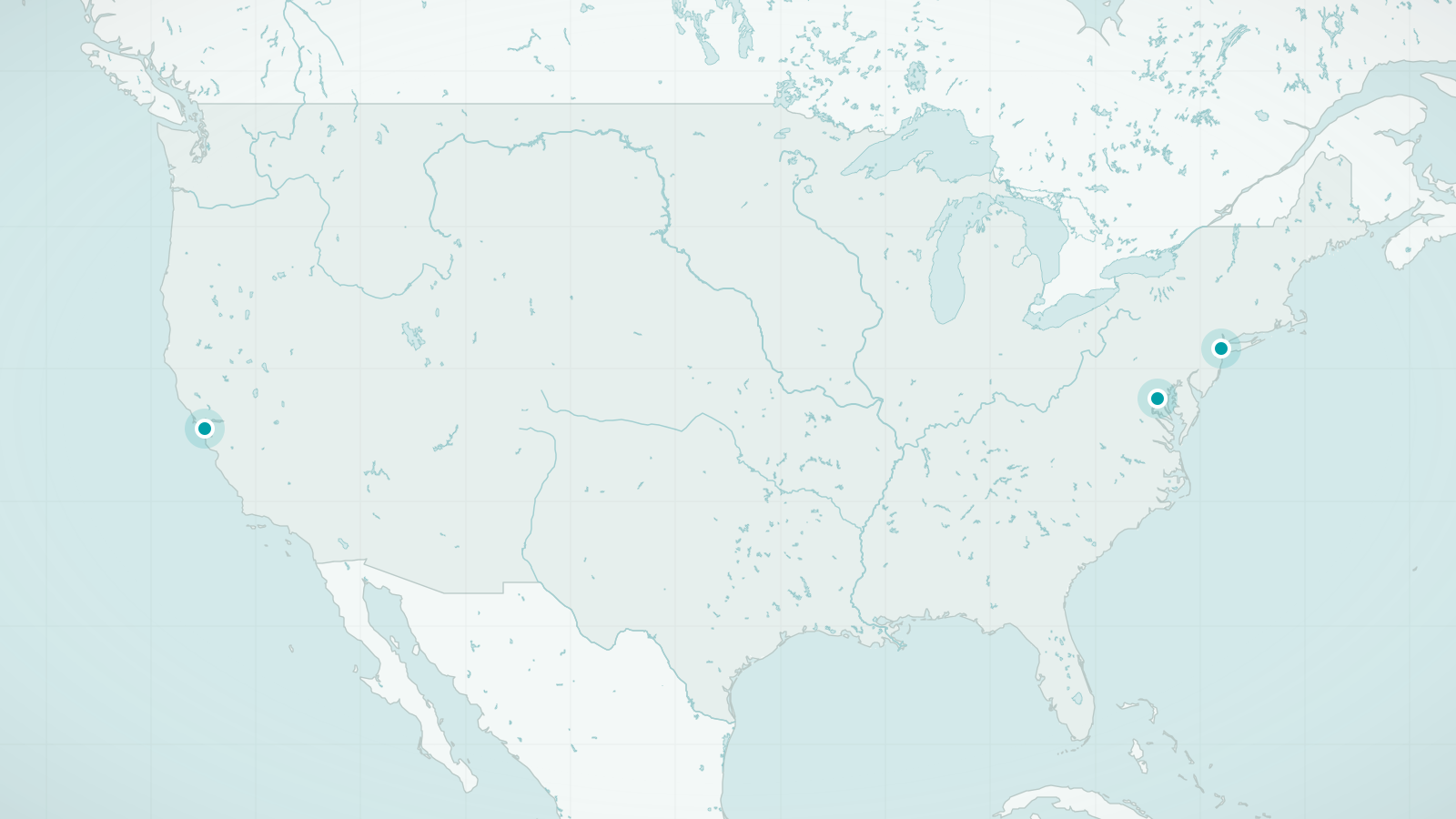
United States
Three cities that break the rule that America is for driving
Explore destinationsSources and review date
- San Francisco, Wikipedia (accessed 2026-09-24)
- Golden Gate Bridge: visiting the bridge, Golden Gate Bridge Highway and Transportation District (accessed 2026-09-24)