
Madrid
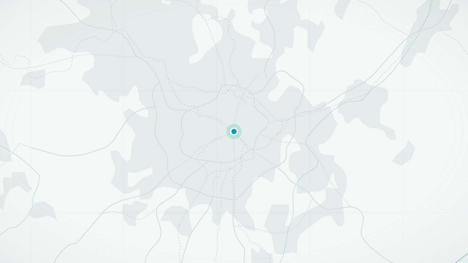
Madrid's centre is a tight cluster of neighbourhoods around the Puerta del Sol, each with its own bars, squares and character. The three great art museums stand in a line along a single boulevard, and the city's evening walk is a way of life.
The city on foot
Madrid sits at about 650 metres on Spain's central plateau, which gives it bright, dry air and sharp seasons. The historic centre is small: from the Royal Palace on its western edge to the Retiro park on its eastern edge is barely three kilometres, and almost everything in between is worth walking through. Streets radiate from the Puerta del Sol, the symbolic centre of Spain, and each district has a personality of its own.
The city's great pleasure is the paseo, the unhurried walk that Madrileños take in the evening before a late dinner. Join in along the Paseo del Prado or the streets of La Latina and you will understand why the centre feels so lively at ten at night. Museums and the Retiro fill the day; the neighbourhoods fill the evening.
What makes Madrid distinctive
- The Paseo del Arte: the Prado, Thyssen and Reina Sofía within a kilometre of each other
- Tapas streets such as Cava Baja, where an evening is spent moving from bar to bar
- A grand royal core of palace, opera house and arcaded Plaza Mayor
- The Retiro park, a former royal garden at the centre's edge
Walking tours in Madrid
Hand-picked guided walks in Madrid, each rated highly by travellers. Ratings and photos are from Viator; select a tour to see dates, prices and full details, and to book.
Advertising disclosure: tour links go to Viator. If you book through one, we may earn a commission at no extra cost to you. It does not affect the price you pay or which tours we choose.
-
Madrid Essential: Historic Center, Plaza Mayor & Royal Palace (opens Viator in a new tab)
A 2.5-hour walk through the historic centre, from the Puerta del Sol to the Plaza Mayor and the Royal Palace, taking in the side streets and details that are easy to miss.
Guided in English, Portuguese, Italian, French, Spanish
See dates & bookBooked securely on Viator
-
Madrid Walking Tour from Puerta del Sol to Retiro Park (opens Viator in a new tab)
A walk east from the Puerta del Sol through the elegant Bourbon-era city to the Retiro park.
Guided in English, Portuguese, Italian, French, Spanish
See dates & bookBooked securely on Viator
-
Madrid Oscuro: Torture, Ghosts, Crimes and Legends (opens Viator in a new tab)
An evening walk through central Madrid's darker history: crimes, executions, legends and ghost stories told at the places they happened. Not one for young children.
Guided in English, Spanish
See dates & bookBooked securely on Viator
-
Madrid Tapas & Taverns Small Group Food & History Tour (opens Viator in a new tab)
A small-group tapas crawl through some of Madrid's oldest bars, with the history of the streets in between and tips on ordering like a local.
Guided in English, Spanish
See dates & bookBooked securely on Viator
-
Madrid Tapas & Wine Tasting Food Tour – Small Group Local Bars (opens Viator in a new tab)
A three-hour small-group walk through the Habsburg old town, stopping at four traditional bars for 12 tapas paired with Spanish wines.
Guided in English, Spanish
See dates & bookBooked securely on Viator
Main sights
- Museo del Prado
One of the world's great picture galleries, on the tree-lined Paseo del Prado. Free entry in the last two hours of the day draws queues.
- Plaza Mayor and Puerta del Sol
The arcaded seventeenth-century square and the bustling plaza that marks kilometre zero of Spain's roads, a few minutes apart.
- Royal Palace and Almudena Cathedral
On a bluff at the western edge of the centre, with the Sabatini and Campo del Moro gardens below.
- Retiro Park
A large formal park with a boating lake, the glass Crystal Palace and shaded avenues; part of a UNESCO-listed landscape with the Paseo del Prado.
- Reina Sofía
Modern and contemporary art, including Picasso's Guernica, at the southern end of the museum boulevard.
- Gran Vía
Madrid's early-twentieth-century showpiece avenue of theatres, shops and ornate rooftops.
Neighbourhoods worth wandering
- Los Austrias
The Habsburg-era old town around the Plaza Mayor and the palace; narrow lanes and old taverns.
- La Latina
Tapas bars along Cava Baja and the Sunday El Rastro flea market.
- Barrio de las Letras
The literary quarter around Plaza de Santa Ana, with quotations set into the paving.
- Malasaña and Chueca
Neighbouring districts of vintage shops, cafés and nightlife north of Gran Vía.
- Lavapiés
Multicultural and steeply sloping, with street art and inexpensive food from many countries.
- Salamanca
Wide, orderly nineteenth-century streets of luxury shops east of the Retiro.
Best areas to explore on foot
- Palace to Retiro
The classic east–west traverse: Royal Palace – Plaza Mayor – Puerta del Sol – Barrio de las Letras – Paseo del Prado – Retiro. About 3 km, flat apart from the drop to the palace.
- Los Austrias and La Latina
The tightest knot of historic streets; go in the early evening when the bars fill.
- Paseo del Prado and Recoletos
A broad, shaded boulevard linking the museums with the Plaza de Cibeles and the Salamanca district.
- Retiro Park
Miles of paths under trees; the best escape from summer heat within the centre.
Practical walking notes
- Terrain
Mostly gentle. The centre slopes down westward to the palace and the river, and Lavapiés is noticeably hilly; otherwise the streets are level or lightly graded.
- Heat
Summer afternoons regularly exceed 35°C in a dry heat that catches out visitors. Locals walk in the morning and after 20:00; do the same and use the Retiro and the museums in between.
- Surfaces
Well maintained and generally smooth; some cobbles in Los Austrias. Pavements can be narrow in the oldest streets but pedestrian zones are widespread.
- Distances
Districts are about 1–2 km apart. A day covering the museums and the old town is roughly 8–12 km on foot.
- Accessibility
Wide plazas, the museum boulevard and the Retiro are step-free. Many metro stations have lifts, but not all; the oldest lanes of La Latina and Lavapiés are steep and narrow.
When to visit
- April–June
Warm, dry and bright; long evenings ideal for the paseo.
- July–August
Very hot. The city empties in August and some businesses close, but museums stay open and nights are pleasant.
- September–October
Heat fades, the cultural season starts and the Retiro turns golden.
- Winter
Cold and clear with frequent frosts and occasional snow; excellent for museums and for the city's Christmas lights.
Getting there and getting around
Arriving
- By air
Madrid-Barajas airport is about 13 km north-east. Metro line 8 reaches the centre with one change; an airport supplement applies. The airport express bus runs to Atocha around the clock.
- By rail
Atocha, just south of the museum boulevard, handles high-speed trains from Barcelona, Seville and most of Spain. Chamartín, in the north, serves some routes and is on the metro.
Local transport
- Metro
Extensive and fast, with stations rarely more than a few minutes apart in the centre. Runs from about 06:00 to 01:30.
- Tickets
A rechargeable Multi card is used for all public transport; 10-journey loads are the usual choice for visitors.
- Buses
Useful for step-free journeys and for reaching Salamanca and the northern districts; night buses fan out from Plaza de Cibeles.
- BiciMAD
The city's electric bike-share scheme suits the hilly parts of the centre; short passes are available to visitors.
Questions travellers ask about Madrid
How hot does Madrid get, and can I still walk in summer?
July and August afternoons are commonly above 35°C with strong sun. Walking is fine early in the morning and after sunset, when the whole city is out. Plan indoor visits for the middle of the day and carry water.
Which museum should I walk to first?
The three major museums are on one boulevard. Start at the Prado if you like old masters, the Reina Sofía for modern art. Each takes at least half a day, so combining more than two in a day is exhausting.
When does El Rastro take place?
Sunday mornings and public holidays, in the streets of La Latina south of the Plaza de Cascorro. Arrive before noon; it winds down by mid-afternoon and the bars around it then fill up.
Is the centre walkable from Atocha station?
Yes. Atocha is about a kilometre south of the Prado and 20 minutes on foot from the Puerta del Sol, all on level or gently sloping streets.
What time do people eat?
Lunch from about 14:00 and dinner from 21:00 or later. Restaurants that are full at 20:00 are usually catering to tourists; the local rhythm makes an evening walk before dinner natural.
Other cities in Spain
Barcelona
Medieval lanes, a modernist grid and the sea at the end of the street
Discover the city
Seville
Orange trees, tiled courtyards and the flattest old town in Spain
Discover the city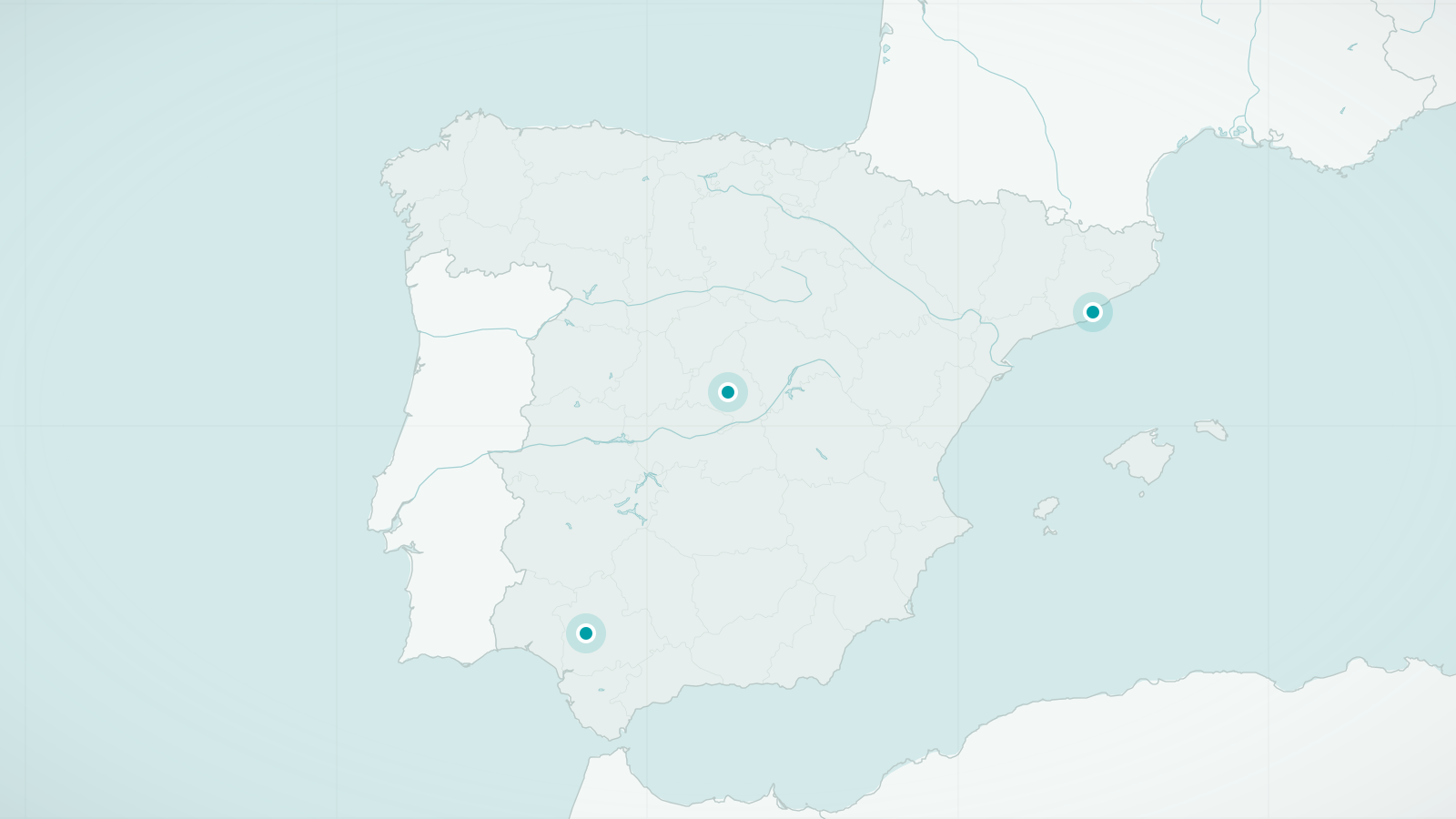
Spain
Plazas, old quarters and evenings that belong to pedestrians
Explore destinationsSources and review date
- Madrid, Wikivoyage (accessed 2026-09-24)
- Paseo del Prado and Buen Retiro, UNESCO World Heritage List (accessed 2026-09-24)